Exploring our Natural World with Technology

Category: Outdoor EDtech

First Aid Emergency at Sombrio Beach

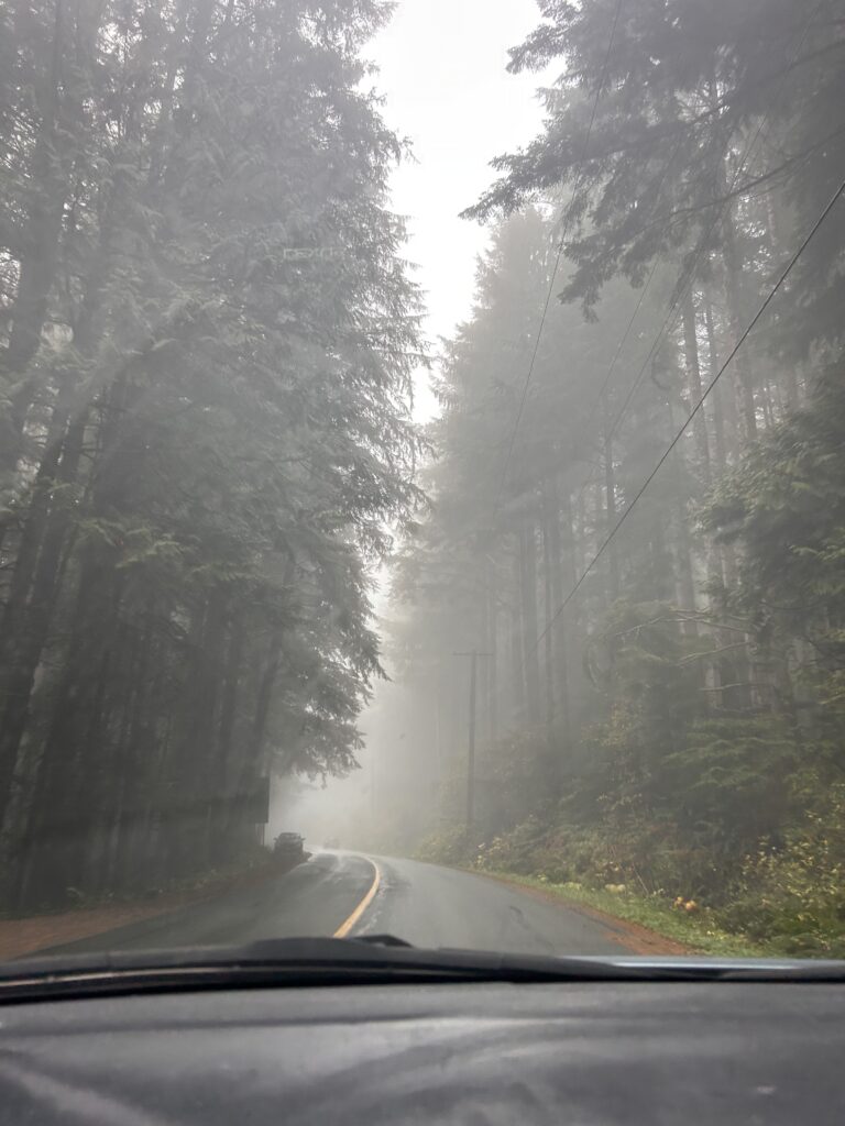
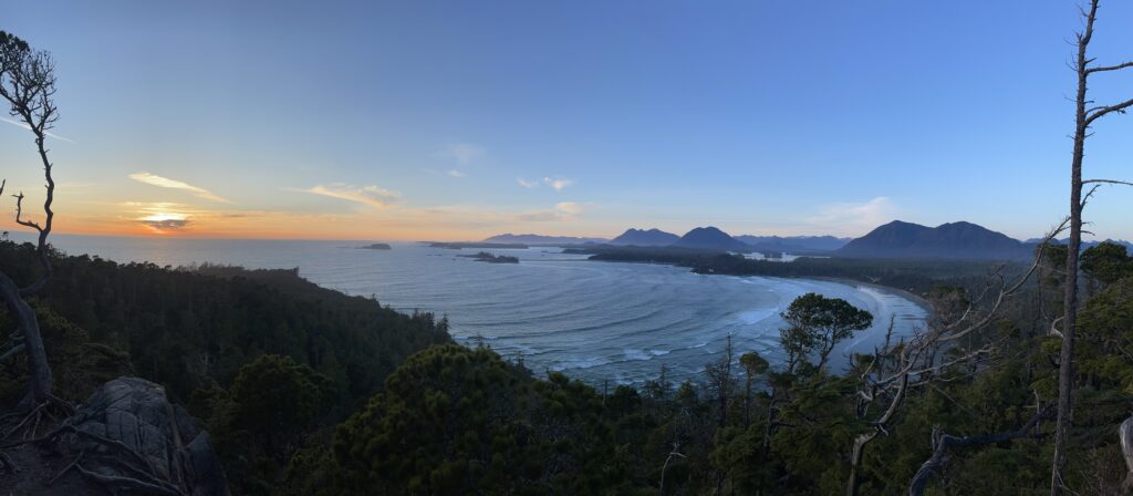
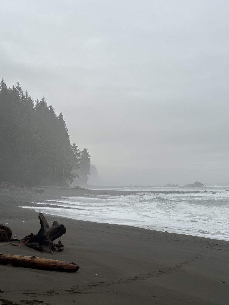
This Thursday, me and 4 other friends decided to drive up to Sombrio beach to camp the night and surf Friday. the wave forecast was set to be waist high and clean early on, but with heavy winds coming after creating blown out waves, so we were looking froward to what would be a beautiful morning. When we arrived at Sombrio it was pouring rain, we set our tents up in a semi covered area off the beach and then went off to explore down the beach.

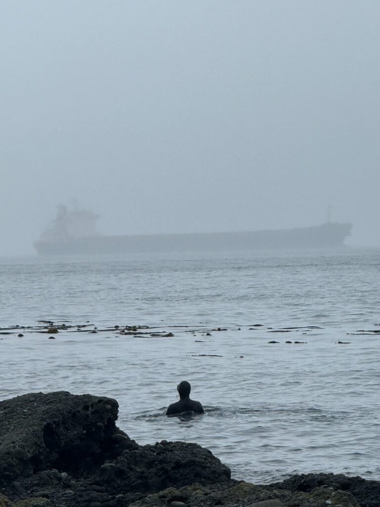
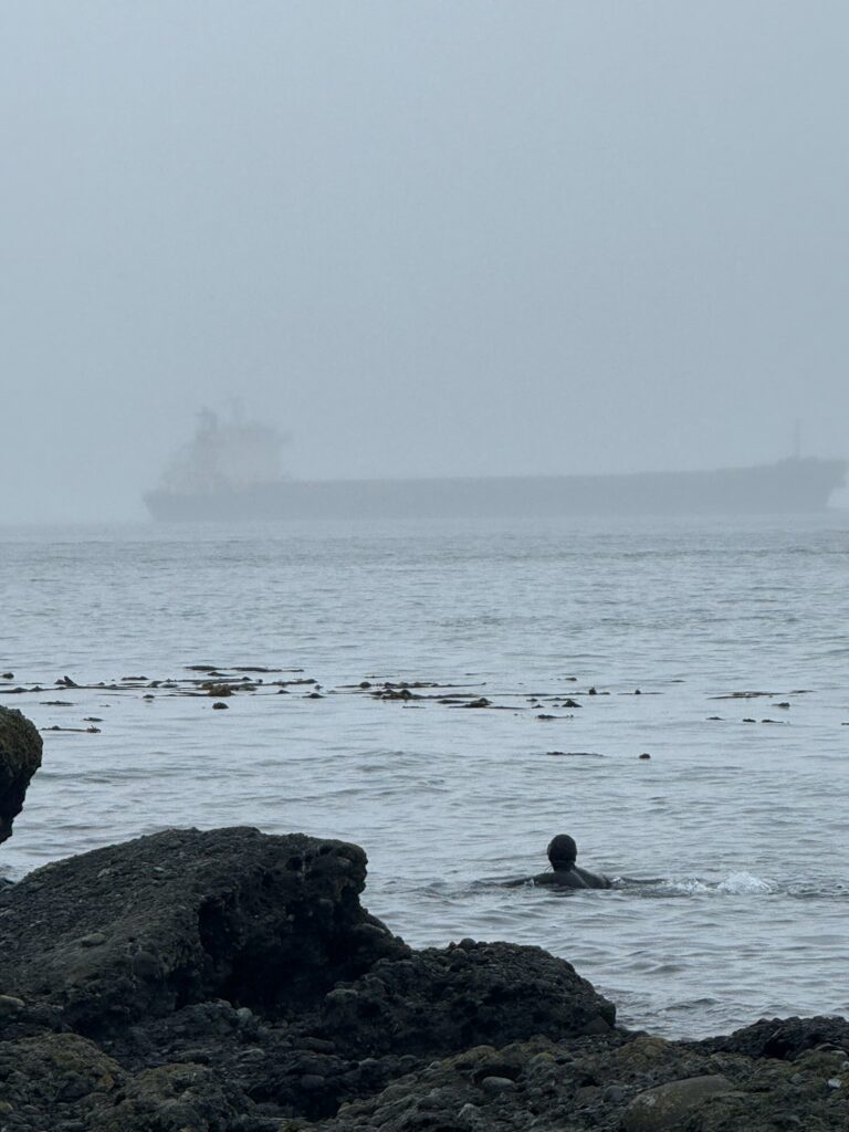
When the morning came we woke up and got changed into our wetsuits right away, looking out at the beach to see which break had the best waves. It was windy in the morning, as a result there was plenty of large pieces of driftwood in the water, getting picked up and smashed onto the beach. Rain was hitting us sideways leaving our tents surrounded in pools of water and mud, and made it harder to see the water and waves.

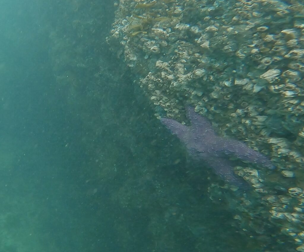
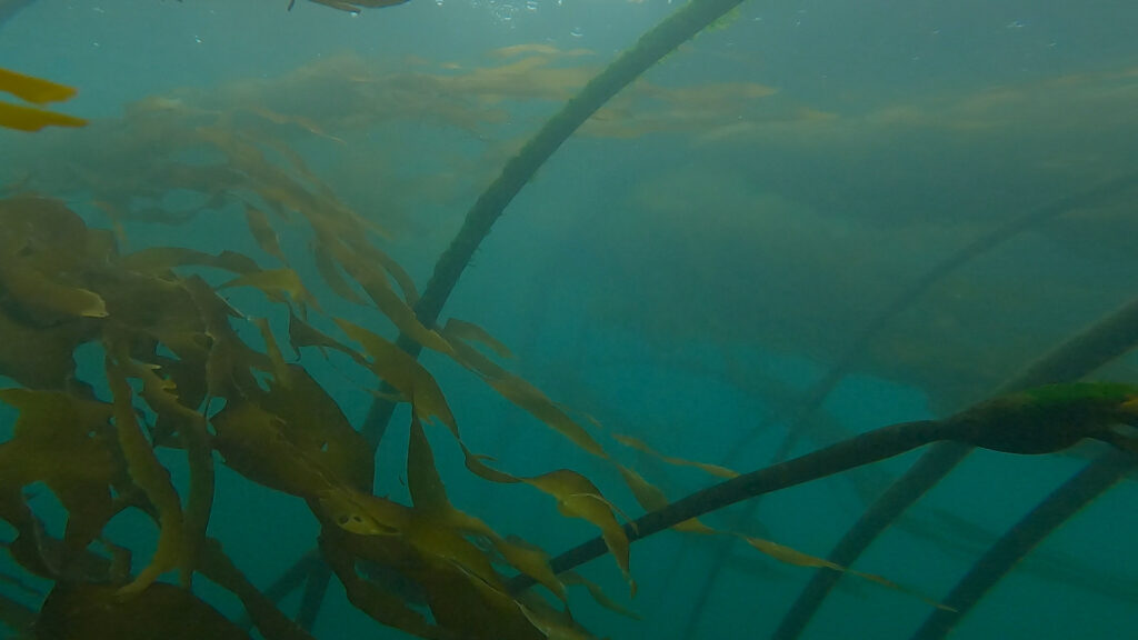
Once changed we walked in our wetsuits to the west side of the beach toward a surf break named “seconds,” however we did not make it out to the wave. I got on my board and started paddling out, but I heard my name called and shouting from the beach, I turned to see my friend laying flat on his back, and then pulled himself up the beach dragging his leg. I paddled in as fast as I could to see that he had broken his leg, the culprit was an approximately 10x4ft piece of driftwood that had been picked up by the wash and thrown at his leg, hitting just above the ankle. He immediately knew it was broken, and seemed to be a compound fracture.

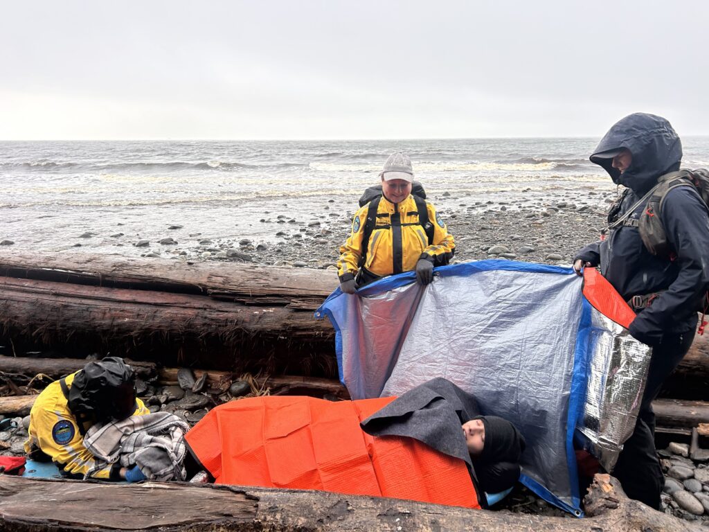
Instantly, once he was further away from the crashing waves, my two friends ran to call 911 and get search and rescue. Thankfully, the only other people on the beach saw them running frantically, and went to go see what was going on. These people were Matt and Katie, who thankfully were able to provide a first aid kit, warm water, blankets, and a tarp that we used to block the waves.

I immediately immobilized his foot, however the wind and rain were picking up so waves were hitting us on the beach, we needed to move. Thankfully, we had a large enough board with us to use as a stretcher to carry him further from the waves, and once we all worked together to lift him on the board, it turned into a waiting game.

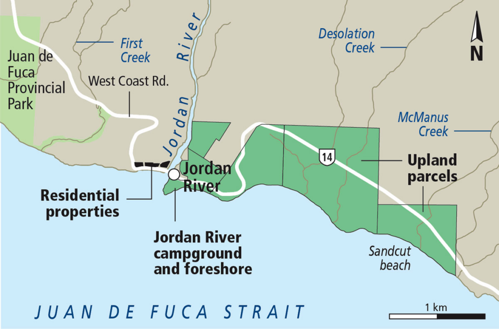
As the weather was so poor, Search and Rescue could not send in any helicopters or boats, so we had to wait for them to drive from Sooke to the beach, which is supposed to take an hour. However, because of the area we were in and because some of the search and rescue team are volunteers, we ended up on the beach for 3 hours before the first 2 responders showed up.

During the hours we were on the beach waiting, unsure of when help would arrive, he lost around 200ml of blood, and we were getting beat by wind, rain, and waves. Thankfully because everyone was calm, patient, and understanding, we were able to get through it together. When search and rescue arrived we could finally somewhat relax, and another 2 hours later the full search and rescue team arrived and put him on a stretcher and drove to the hospital.

View from campsite of Search and Rescue with Ethan where injury occurred, taken by Gabriel Copeland, 2025

Reflecting on the event today, I am so thankful for everyone there, as we all played an important role in making the rescue go as safe as it couldve. I am also thankful for my lifeguard training, as because of this I was able to react calmly and quickly when the injury occured, possibly preventing further injury.

Ethan with Search and Rescue Tea, taken by Gabriel Copeland, 2025

Jordan River and the Fish Run

Jordan River map, Times Colonist, 2017
Diitiida Plaque at Jordan River, Taken by Gabriel Copeland, 2025

Jordan river lies on the southwest coast of Vancouver Island, emptying into the strait of Juan de Fuca, spanning roughly 165km² before entering the pacific ocean. The river is known traditionally as Diitiida (or di:ti:dah) by the Pacheedaht First Nation, and has supported thriving salmon populations, providing a large seasonal harvest for the Pacheedaht people. Elders describe times when “you could almost kick the salmon out of the water,” and some estimate that at certain peaks the lower river alone had upwards of 10,000 salmon, however, the 20th century introduced industrial changes that dramatically altered the rivers ecosystem resulting in what it is today.

Calm day at Jordan River, taken by Gabriel Copeland, 2025
The Coniferous forests surrounding Jordan River, Taken by Gabriel Copeland, 2025

Jordan River lies within what BC Hydro defines as the Coastal Western Hemlock biogeoclimatic zone, which is characterized by lots of rain, cool summers, mild winters, and dense coniferous rainforest. Coniferous means forests made up evergreen, hemlock, fir, and cedar trees, these trees have needles instead of leaves and stay green year round as they are adapted to the cool climate of BC.

Jordan River might seem prestine and is known for its scenery and surf, but the landscape has faced serious challenges over the years. The first hydroelectric facility was installed in 1911, altering the rivers flow and capacity for fish runs, and decades of logging and mining (copper/gold) operations leached contaminants into the river. As stated by Jamie Constable of the Watermark Project, “at the time of operation of the mine, waste rock/tailings piles were permitted to be stored alongside the river and I determined in my research that these extensive piles that still exist today in the lower portion of the river above the salmon beds are one of the principal sources of contamination” (2016-2025). As a result of the contamination from the combination of the power generation, mining, and forestry industries, the once abundant spawning river is now a “basically dead. and if its not dead, its definitely on its last legs” says Wayne Jackman, a longstanding advocate for Jordan River and Salmon conservation.

Jordan River is an especially important example for outdoor education as it shows a real conflict between our natural environment and the impacts of technology on it. This same technology that powers Vancouver Island also played a major role in destroying the rivers salmon runs and damaging the watershed. In this case, “technology” is not digital, but industrial, and has reshaped the environment in ways that limit the ecosystems that are so important for students to experience.

Jordan River can open up important discussions with students, such as, what are the trade offs between resource use and environmental protection, where and how do we draw the line? How do we balance what people need with what ecosystems need? And how might we use technology today in a way that supports restoration rather than repeating mistakes? This way the damage done becomes a starting point for meaningful conversation and deeper learning, inspiring students to care for our planet, and encouraging them to think about how harm to local ecosystems affects their own homes.

Sources:

Tofino

View of Tofino from Cox Bay lookout, taken by Gabriel Copeland/2025

Tofino has always been one my happy places, and I feel incredibly lucky to live so close by. Every trip I take out there reminds me of why I love it so much, the surf, beaches, and the incredibly diverse ecosystems that make up Tofino’s environment. It is important to remember that while all these things are important, Tofino is the ancestral home of the Nuu-chah-nulth people, who lived, gathered, and cared for this coastline for over thousands of years. This history is important to recognize and adds a whole other layer of significance to Tofino that should be understood and appreciated.

Video of Harbour Seal, taken by Gabriel Copeland, Tofino 2025

As you can see by the video above, Tofino is rich in nature, and home to many wildlife species. Specifically in this video above is a Harbour Seal (Phoca Vitulina), the most common seal across Coast Salish waters, you can tell this by the rounded head, lack of ear flaps, and by the way it bobs at the surface of the water.

By Sam Beebe – Opitsat, Tla-o-qui-aht First Nation, CC BY 2.0, https://commons.wikimedia.org/w/index.php?curid=36036581

Additionally, in the video above there is a town in the distance named Opisat, which is a First Nations settlement on the southwest area of Meares Island. Opisat is home to the Tla-o-qui-aht First Nations of the Nuu-chah-nulth, who have lived there since time immamorium. During the era of the maritime fur trade, Opisat was home to Chief Wickaninnish (meaning “Nobody sits or stands before him in the canoe”), who was the chief of the Tla-o-qui-aht people of Clayoquot Sound. In 1972, an American fur trader named Captain Robert Grey burned Opisat to the ground in an unprovoked attack, sparking a series of retaliatory battles as a result of the damage done to the settlement and people.

Salmon Run at Stamp Provincial Park, Taken by Gabriel Copeland, 2025

Above is a video of the Salmon run at Stamp Provincial Park just outside of Port Alberni, it is one of the most important Salmon bearing rivers on Vancouver island. Every fall, tens of thousands of Coho, Chinook and Sockeye return from the open ocean, swimming upstream to spawn. This event brings the entire ecosystem together as the salmon provide essential nutrients for other animals like, eagles, bears, wolves, ravens, and the forest, as when the salmon decompose, their nutrients go into the soil and feed the surrounding environment. We were lucky enough to see bears nearby hoping to catch dinner, shown in the video below.

Black Bear, taken by Morgan Stanford, 2025

Experiences in nature like these, along with the rich indigenous history and the beauty of the environment, really remind me of why outdoor learning matters. It helps me slow down, pay attention, and actually connect with the places we spend time in, instead of just passing through.

Pender Island

View of a freighter from Gowlland Point, Taken by Ethan Baker/2025

Pender Island is a place that will always be close to my heart. It is one of the gulf islands in the Salish sea, and is made up of two islands, north Pender and south Pender. The islands are traditional territory of the W̱SÁNEĆ peoples. My grandparents have lived on the island for majority of their lives, meaning that I have had the privilege of being able to come visit and explore many times.

Sunset on South Pender, Taken by Gabriel Copeland/2025

The island has a beautiful mix of rocky shorelines and lush coastal rainforest, with tall arbutus peeling revealing the orange bark, and douglas fir trees covering the island. One of the most southern points in Canada, Gowlland Point, has clear water, bull kelp forests and beautiful sunsets on clear days.

Gowlland Point was where me and my friends chose to free dive, as it has been a spot ive seen a humback whale passing through and plenty of harbour seals out of water, so naturally it was the place we were most excited to explore underwater.

Purple Sea Star, Taken by Gabriel Copeland/2025

To the left is a picture of the Ochre Sea Star, or Pisaster Ochraceus, a keystone species along the salish coast. Many sea stars live to a minimal age of four years, while the purple sea star can live as long as twenty years. They are keystone predators of the mussel, who grow fast and spread quickly destroying the sea floor if left unatended. Because of the Pisaster Ochraceus, there is space for other organisms to survive, meaning we have to thank the purple sea stars for keeping our diverse shoreline alive.

Overall, visiting pender reminds me of my love and appreciation for nature. Seeing complex underwater ecosystems at work up close reminds me of how important it is for us as the dominant species with the most awareness and impact, to protect these places.

Sombrio Beach

While many look to the island in search of surfing and head to Tofino, driving in the other direction towards Sooke you will eventually find yourself at one of the most beautiful and special beaches on Vancouver island, Sombrio Beach. The surrounding coastline is part of the traditional, ancestral, and unceded territories of the Pacheedhat First Nation, meaning “People of the Sea Foam.” They have lived along the Juan de Fuca strait since time immemoriam, relying on the coastline for fishing, canoe travel and harvesting.

Sombrio Beach, Taken by Gabriel Copeland/2025

Sombrio Beach’s environment has a big impact on its surf. The beach is a mix of sand and cobblestones, sorted naturally by waves. Larger rocks sit at the forested edge, while smaller smoother pebbles are near the shoreline. when waves wash over them, the pebbles mix and grind together, creating a gentle rattling sound along the beach.

This mix of sand and rocks affects how the waves break, as east sombrio’s point break works well because of cobble stone point that extends into the ocean, as you can see in the distance to the right (picture left). This feature allows the right hand point break to peel consistently, especially during the swell in the fall/winter.

To the right is Sombrio’s hidden waterfall. When you explore near the waterfall, you might notice the walls are completely smooth, this is because of the water eroding the walls of rock around the fall over time. As the water flows down to the beach, it sorts the sediment, smoothing pebbles and rocks over time.

Sombrio Beach Waterfall, taken by Gabriel Copeland/2025

Sombrio beach is a special place where nature, surf and history are all in one place, and whether your surfing at the beach, hiking the juan de fuca or just enjoying the view its a spot I always find myself wanting to come back too.

Sombrio Beach, taken by Gabriel Copeland/2025

Outdoor EDtech Pursuits

Outdoor Education and EdTech might seem like opposite ends of the spectrum, one based in hands on experinece and physical activity the other in screens and digital tools, and inherently non physical. However when used thoughtfully, I believe it can enhance our connection to our environment and extend our learning and understanding of nature by documentation, analysis, interpretation, and discusssion. Further, combining these topics might

In recent weeks, Ive had the oppourtunity to take part in several outdoor trips, including free diving and surfing. During one dive in off the coast of Pender Island, I began to think of ways we could use technology in the outdoors, to extend learning in the classroom. Examples of tools might be blogs, mobile devices, and cameras and GPS devices to collect data, document findings, and access information in real time.

Bull Kelp, Taken by Gabriel Copeland/ 2025
Taken by Ethan Baker/ 2025

Attached is a picture of me in a kelp forest, a distinctive environment that is “phyletically diverse, structurally complex and highly productive components of coldwater rocky marine coastlines” as stated by Robert S. Steneck, a professor of marnie sciences. Composed of swiftly growing brown algae, the West Coast kelp forests are a vital ecosystem that supports the homes of many different species, ranging from Sea urchins to larger keystone species like Sea Otters and Octopus.

Reach for the sky, partner!
Photo by Dan Hershman, under Creative Commons Attribution 2.0 Generic license.
Sea Otters (Enhydra lutris), from a raft of about 15,
Photo by Mike Baird, under Creative Commons Attribution 2.0 Generic License.

Attached to the left, is a picture of a West Coast Kelp Crab (Pugettia Producta), one of the animals I saw when we went diving, and just one of the species native to kelp beds from Alaska to California. These crabs are identifyiable by their shield shaped backs, and are greenish/yellow when young, and brown or red as an adult. I stumbled across a large number of these guys while swimming through the kelp forest!

They are commonly found clinging to kelp and seaweed, camoflaging their brown shells with the brown bull kelp to keep hidden from larger predators, like sea otters or gulls.

To the left is a Sea Otter (Enhydra Lutris), one of the “keystone species” of the west coast kelp forests, meaning their presence is critical to how an ecosystem functions! Kelp forests and Sea Otters have a symbiotoic relationship. “The forest provides habitat and food for the otters, in exchange for protection from their strongest predator- Sea Urchins” (Kim Bricker, 2024). Without the otters, the urchins would overgraze and could destroy entire kelp forests.

Experiencing all these amazing relationships first hand made me realize how beneficial it might be for students to observe these interactions through technology. For younger learners it could mean using apps to identify local species, exploring virtual dives to see exotic marine life up close, or simply just making connections with pictures and videos and discussing in class. Todays learners are already surrounded with technology, so using it as a tool to foster curiosity, exploration and research, as well as the inherent physical demand that

Further, it also made me reflect on how important it is for students to experience our natural world- exploring the complex relationships between animals and their environments. In turn, this can help them understand the importance of treating mother nature with care and recognizing that humanity is just one part of a larger ecosystem, where all species depend on one another to live in balance.